Shell Corporate Relations Team Tours the Bodo Project Area
March 28, 2022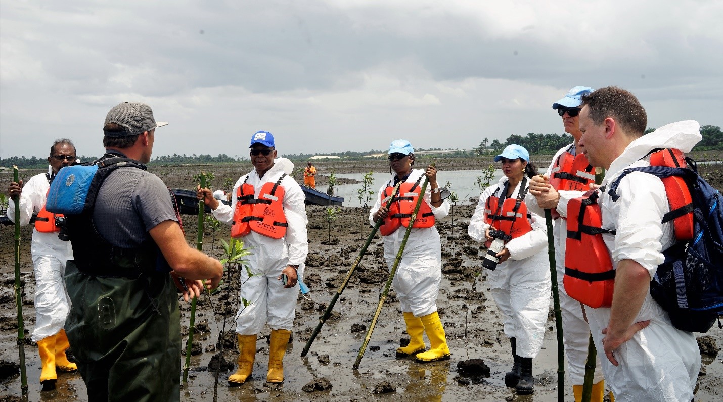
BMI Shares Knowledge with UNEP for HYPREP
March 29, 2022
By Bariton Lezabbey
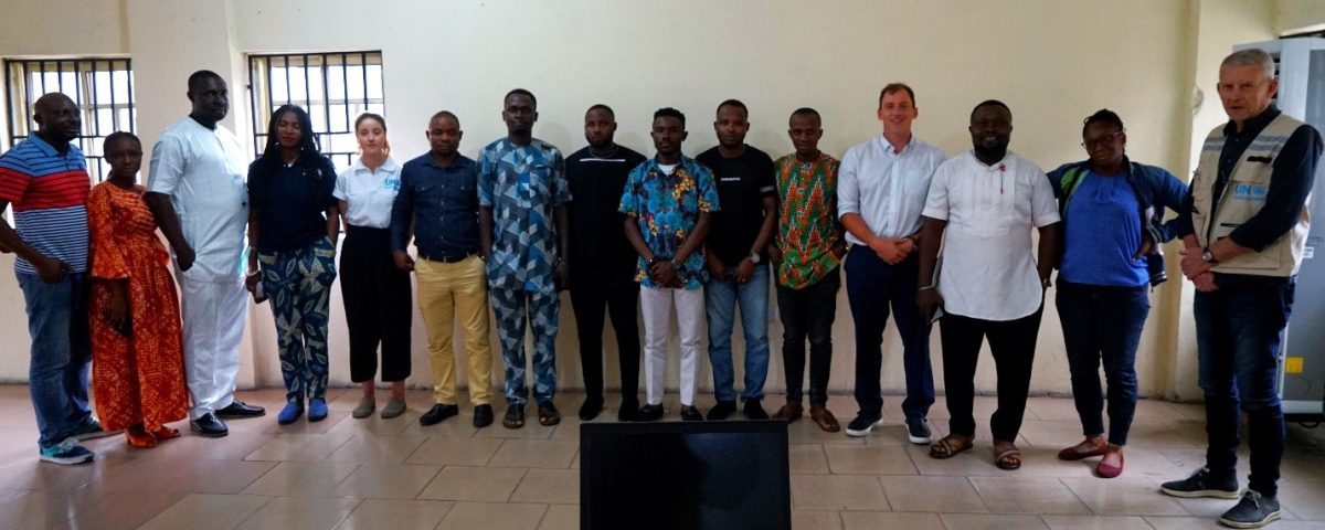
In view of the Federal Government Ogoni Clean-up programme managed by the Hydrocarbon Pollution Remediation Project (HYPREP), the Bodo Mediation Initiative (BMI) and United Nations Environment Programme (UNEP) facilitated a hands-on geographic information system (GIS) lab on Friday 18th 2022 to enhance the capacity of the HYPREP GIS team in designing and delineating the remediation work scope for the Ogoni cleanup.
A GIS is a spatial system that creates, manages, analyzes, and maps all types of data. It is very effective in improving communication and efficiency and facilitates a better understanding of issues for management and decision making when used properly. The Bodo Remediation and Revegetation Project utilizes GIS in determining Shoreline Cleanup Assessment Technique (SCAT) field objectives, determining project scope, tracking remediation and mangrove contactor progress and to help visualize progress as it continues.
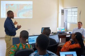
During the training session the BMI SCAT leader, Nicholas Story, showcased some techniques on how the BMI has used GIS to inform decision making and field visit planning, as well as how to organize large-scale projects. He further explained to the participants how to plan field activities for intertidal environments. He stated that “understanding the tide table is the most essential aspect in designing your weekly ICS 204 plans”. The Incident Command System (ICS) 204 plan is used globally to assign objectives in any type of incident from oil spills to search and rescue missions. In the Bodo Project, the ICS 204 plan not only informs the SCAT field teams of their weekly objectives but extends itself to all aspects of BMI related field activities, such as mangrove monitoring and chemistry sampling. The BMI Deputy SCAT leader, Mr. Peter Lenu reiterated to the participants that planning for field work using GIS and the ICS 204 enables the team to avoid the potential hazards associated with working in such a muddy and difficult terrain.
The BMI Deputy SCAT leader, Mr. Peter Lenu conducting a session during the training
Mr. Sylvester Agoh, the HYPREP GIS and Assessment team lead, noted that “the training was hands-on and helped the team to learn how to apply GIS on SCAT related activities. For us, it is very important because there’s no need to re-invent the wheel. We must learn from the BMI who have already done a similar job and have recorded massive successes. We are learning from their experiences as well as challenges which they have brought to bare”. In his conclusion he stated that “this was more of a classroom simulation of how the BMI brought practical solutions to the Bodo Project”.
UNEP is providing support to HYPREP for an effective cleanup in Ogoni, which hopes to restore both the contaminated land and mangrove ecosystem within the region.
BMI Conducts Certification Course for SCAT Monitoring and Verification of Bodo Cleanup


